

Sile River Natural Park
Last updated on November 15, 2026The Parco Naturale Regionale del Fiume Sile follows one of the longest spring-fed rivers in Europe from its resurgence springs west of Treviso down toward the lagoon. The Restera, the old towpath, runs beside it for most of that distance: flat, shaded and one of the best walking and cycling routes in the Veneto.
Challenge to visitors
There is no entrance, which confuses people looking for one. This is a protected river corridor, not a site — you join it at a town, a bridge or a visitor centre and follow the water. Searching for opening hours produces nothing because there is nothing to open.
It is long and linear. Around thirty kilometres of river means the park is best taken as a route rather than a destination, and choosing where to start matters more than anything else about the visit.
And the springs are the part people miss. The resurgence head, where the river simply appears out of the ground, is at the far inland end — a different place entirely from the stretch that runs past Treviso.
Visiting tips and strategy
When to go
Spring and autumn are best for walking and for birds. Summer is hot on the open stretches but the towpath is shaded for much of its length.
Winter has a specific case: the spring-fed water stays warm enough that the wetlands hold waterbirds when everything around them is frozen, and the fog over the river is remarkable.
Mosquitoes are a genuine consideration from late spring through autumn.
Getting the good version
Decide bike, boat or foot before you decide where. The park authority organises the corridor around exactly those three — a cycle route, a canoe route and walking paths — and they reach different parts of the river.
Use the visitor centres as your start points. The authority publishes a network of them along the corridor, and they are the difference between a walk by a river and an understanding of a resurgence system.
Go to the springs if you only do one stretch. Watching a full-sized river begin out of flat ground is the thing this park has that others do not.
The park runs an app and publishes mapping, which for an unfenced thirty-kilometre corridor with no single entrance is more useful than any sign at a gate.
What it costs
Free. The Parco Naturale Regionale del Fiume Sile is a protected area, not a gated attraction: there is no boundary ticket, no entrance and no closing time, and the park authority publishes governance, mapping, routes and visitor centres without any admission tariff.
Individual sites along it may charge. Museums, mills and private properties within the corridor keep their own arrangements, which is a separate question from entering the park.
Guided walks are sometimes organised and sometimes free. Programmes are announced through the authority and through the regional tourism body rather than sold at a gate.
The authority is at Via Tandura 40, Treviso; 0422 321994; info@parcosile.it.
Verified against Parco Naturale Regionale del Fiume Sile, November 2026.
Getting there and getting in
Admission: Free
What it is
A regional protected area following the river Sile from its resurgence springs to the lagoon, crossing many comuni including Treviso itself.
Hours and admission
Open ground, at all hours, free. There is no single entrance.
How to use it
The authority organises the corridor as a cycle route, a canoe route and walking paths, with a network of visitor centres along it, published mapping and a park app.
The authority
Parco Naturale Regionale del Fiume Sile, Via Tandura 40, 31100 Treviso; tel 0422 321994; info@parcosile.it.
How long
Half a day for one stretch; the full corridor is a multi-day cycling proposition.
Place accessibility
The park authority publishes no accessibility statement for the corridor, and that is recorded rather than filled in. It does publish mapping, route descriptions and a visitor-centre network, and it runs an accessibility feedback channel for its own website.
What helps here is that the corridor is flat. The Sile is a lowland resurgence river and its towpaths follow the water across level ground — the gradient problem that defines most Italian nature sites does not apply.
Surface is the real variable, and it changes along the route. A corridor of thirty kilometres mixes made cycle track with unsurfaced riverside path, so the question is never "is the park accessible" but "which stretch".
Ask the authority for the stretch you want: 0422 321994 or info@parcosile.it. The visitor centres are the places most likely to have parking and facilities.
Quick facts
- Type: Nature, National Park
- Local name: Parco Naturale del Fiume Sile (vedi la pagina italiana)
- Admission: Free
- Built: Park established 1991
- Size: About 95 km along the river
- One of Europe's longest spring-fed rivers: The Sile rises from the ground rather than the mountains, giving it a steady flow and a near-constant temperature all year.
- The sunken barges: Near Casier a line of wooden burci was deliberately scuttled when river trade ended; they sit half submerged and half overgrown.
Where it is
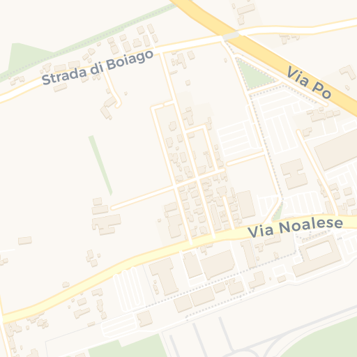
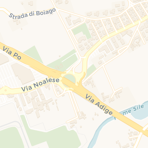
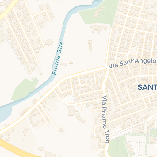
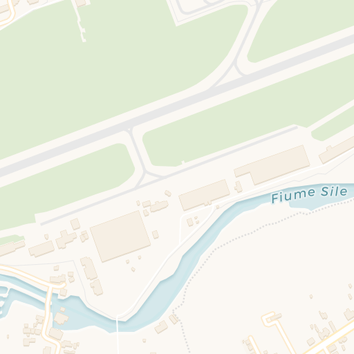
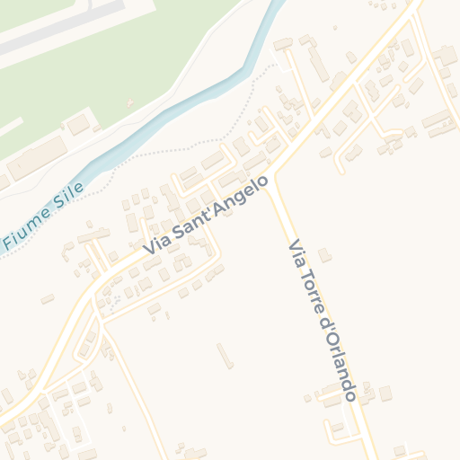
Get directions Open in Apple Maps
© OpenStreetMap contributors · © CARTO · 45.656, 12.21
Visit responsibly
The Sile's value rests on the stability of its springs, and that is exactly what is vulnerable: groundwater extraction and agricultural runoff in the surrounding plain affect both flow and quality.
The park asks people to stay on the Restera and marked paths rather than on the banks, which erode easily and are where nesting birds are.
Cycling or walking out from Treviso rather than driving to a trailhead is both easy and the point -- the route starts at the edge of the city.